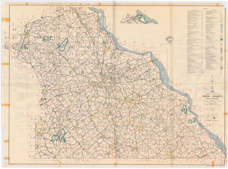
Select Area from 1970's County Map
Back To Record Series
Search Results
Listed below are the details for the area that you selected.
|
Aerial Photo ID
|
Year
|
Area
|
Photograph
|
Previewing the Aerial Photographs
You can preview each photograph by clicking on the "Preview" link below each of photos displayed in your search results.
Downloading the Aerial Photographs
To download the full-size version of the Aerial Photograph:
1. Right-click on the "Download" link
2. Select "Save Target As..."
3. Save the file to your computer
Search Again
Click on any area of the map below to view that selected area's photograph and details.

